Cartodyne is a highly skilled Geospatial and IT services firm that leverages extensive hands-on industry practice with modern tools to deliver solutions for business as well as local government organizations & municipalities.
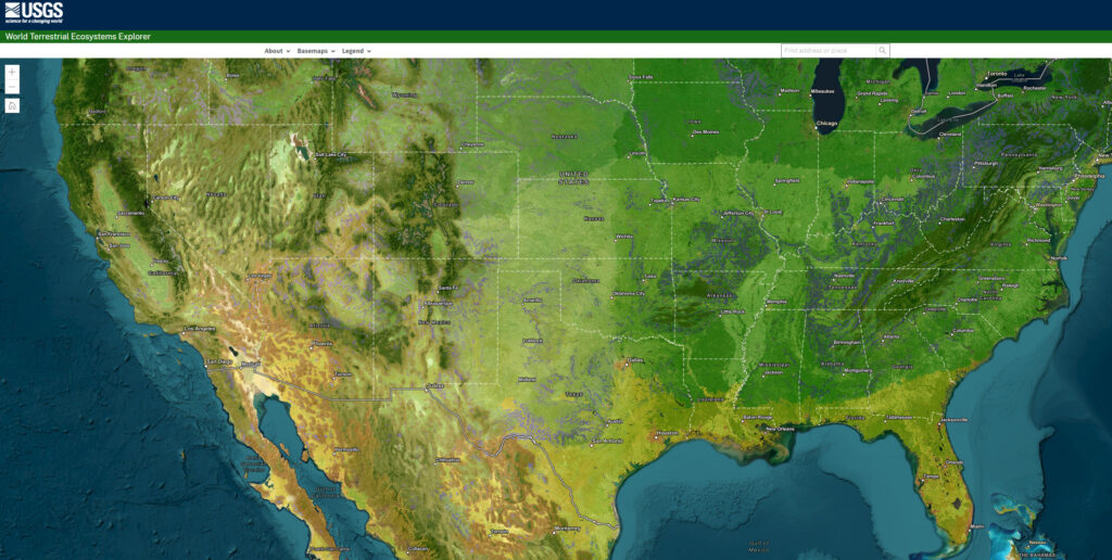
The US Geological Survey (USGS) partnered with Esri and The Nature Conservancy to release the World Terrestrial Ecosystems map, which divides the Earth based on similar climate, landform, and land cover rather than political boundaries.
According to Dr. Roger Sayre, senior scientist for ecosystems at USGS and lead on the project, knowing the location and classification of ecosystems is crucial for their management, as they provide goods and services such as food, water, and fuel.
The map is accessible through ArcGIS Living Atlas of the World and an explorer tool, and it can assist in conservation planning, analyzing ecosystem health and resilience, and achieving the Sustainable Development Goals (SDGs).
Additionally, in the Forrester New Wave: Climate Risk Analytics, Q4 2022 report, Esri received recognition as a leader in offering advanced data processing and visualization to help decision-makers address climate risks, receiving the highest score possible in 9 out of 10 criteria, including threat modeling, advanced data processing, and visualization.
Besides the acronym GPT for Generative Pre-Trained Transformer, this paper also refers separately to GPTs as “General-purpose technologies” such as the Steam Engine or Printing Press
LLMs will influence 49% of occupations by affecting half of their tasks – As AI progresses, it will increasingly automate and impact various aspects of your professional life. Jobs that are more white-collar will experience a more significant disruption.
LLMs will impact 10% of tasks in 80% of occupations – In the short term, the majority of individuals will experience AI affecting only a minimal part of their daily work.
The more challenging it is to enter a field, the more susceptible it is to LLMs – Fields like creative work and software engineering demand a certain level of understanding and effort to succeed, and AI is rapidly mimicking these abilities.
Notable quotes (emphasis mine):
“Concurrently, researchers have improved the steerability, reliability, and utility of these models using methods like fine-tuning and reinforcement learning with human feedback (Ouyang et al., 2022; Bai et al., 2022). These advancements enhance the models’ ability to discern user intent, rendering them more user-friendly and practical. Moreover, recent studies reveal the potential of LLMs to program and control other digital tools, such as APIs, search engines, and even other generative AI systems (Schick et al., 2023; Mialon et al., 2023; Chase, 2022). This enables seamless integration of individual components for better utility, performance, and generalization. In the long run, these trends suggest that LLMs may be capable of executing any task typically performed at a computer.”
Page 4 – 2.1 The Advancement of Large Language Models
“For the most part, generative AI models have predominantly been deployed as modular specialists, carrying out specific tasks, like generating images from captions or transcribing text from speech. However, we argue that it is essential to adopt a broader perspective, recognizing LLMs as crucial building blocks for additional tools. While constructing these tools and integrating them into comprehensive systems will take time and necessitate significant reconfiguration of existing processes across the economy, we already observe emerging adoption trends. Despite their limitations, LLMs are becoming increasingly integrated into specialized applications in areas such as writing assistance, coding, and legal research, paving the way for businesses and individuals to adopt GPTs more widely.”
Page 4 – 2.1 The Advancement of Large Language Models
“We emphasize the significance of these complementary technologies, partly because out-of-the-box general-purpose GPTs may continue to be unreliable for various tasks due to issues such as factual inaccuracies, inherent biases, privacy concerns, and disinformation risks (Abid et al., 2021; Schramowski et al., 2022; Goldstein et al., 2023; OpenAI, 2023a). However, specialized workflows—including tooling, software, or human-in-the-loop systems—can help address these shortcomings by incorporating domain-specific expertise.”
Page 4 – 2.1 The Advancement of Large Language Models
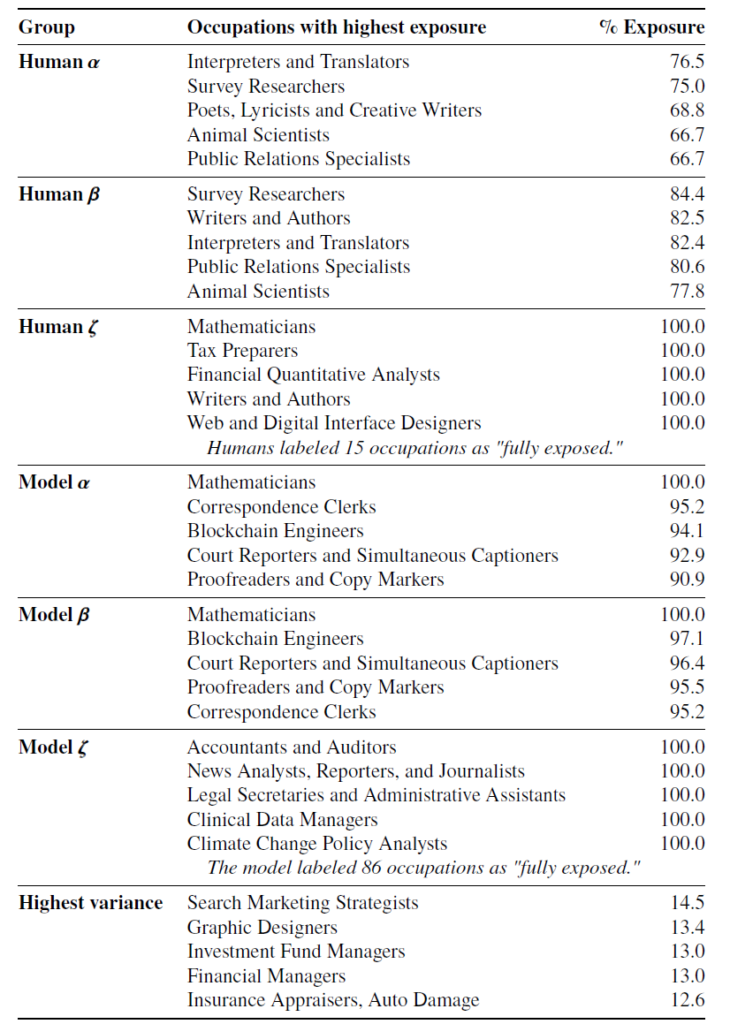
“Our findings suggest that, based on their task-level capabilities, GPTs have the potential to significantly affect a diverse range of occupations within the U.S. economy, demonstrating a key attribute of general-purpose technologies.”
Page 11 – 4 Results
“(table below)…As such, occupations listed in this table are those where we estimate that GPTs and GPT-powered software are able to save workers a significant amount of time completing a large share of their tasks, but it does not necessarily suggest that their tasks can be fully automated by these technologies.”
Page 15 – Table 4
Page 15 – Table 4
“Moreover, the adoption of LLMs will vary across different economic sectors due to factors such as data availability, regulatory quality, innovation culture, and the distribution of power and interests. Consequently, a comprehensive understanding of the adoption and of large language models by workers and firms requires a more in-depth exploration of these intricacies.”
Page 21 – 6.1 GPTs as a General-Purpose Technology
As generative AI advances swiftly and attracts significant investments, challenges loom on the horizon for organizations, institutions, and businesses dealing with the repercussions across global workforces. Established organizations with extensive governance, technical, security, regulatory, and other pertinent business documentation appear poised to capitalize on innovative findings derived from Large Language Models’ ability to synthesize seemingly unrelated information. Likewise, organizations with well-documented automated business processes may be able to efficiently integrate the latest capabilities offered by Large Language Models such as GPT-4.
“ChatGPT, a version of OpenAI’s GPT-3.5 [family]… gained more than 100m users in its first two months, and is now estimated to produce a volume of text every 14 days that is equivalent to all the printed works of humanity.” — Dr. Thompson, Feb/2023, cited in report by the National Bureau of Economic Research (Scholes, Bernanke, MIT)
Ready or not, the age of an augmented workforce is upon us. Companies are racing to invest in the latest iteration of generative AI technologies such as OpenAI‘s ChatGPT. ChatGPT is the future for technology workers, enabling them to work smarter and more efficiently every day. OpenAI recently made their APIs available for use in your own solutions and applications.
We were asked to do a few training sessions on ChatGPT and how every day workers can leverage this technology in daily work activities. If you are brand new to this topic, here is a primer of what ChatGPT and its underlying large language model works called “GPT-3 – How can it help?”
More recently, we did a live demo of providing prompts to ChatGPT for daily work tasks. The presentation below includes slides notes with the sample prompts for revising text, translating text from English to Spanish, extracting email addresses from a messy text string, MS Excel formula creation and definition description in natural language, as well a “Act As” prompt patterns for the AI to behave as a Technical Documentation Writer for your custom solution as well an Esri Solutions Provider delivering assistance on upcoming upgrade.
Finally, the second presentation includes examples of how to use Python with OpenAI API calls. With remarkably few lines of code, we cover the GPT-4 API Request, with which developers can send requests to the GPT-4 API endpoint using Python and receive text-based responses. We include a sample API call for the Whisper AI for audio translation as well as the DALL-E API for image generation.
Do you have any workflow processes that were previously impossible or uneconomical to automate? Generative AI solutions might be able to solve them. Schedule a call with us to discuss your project.
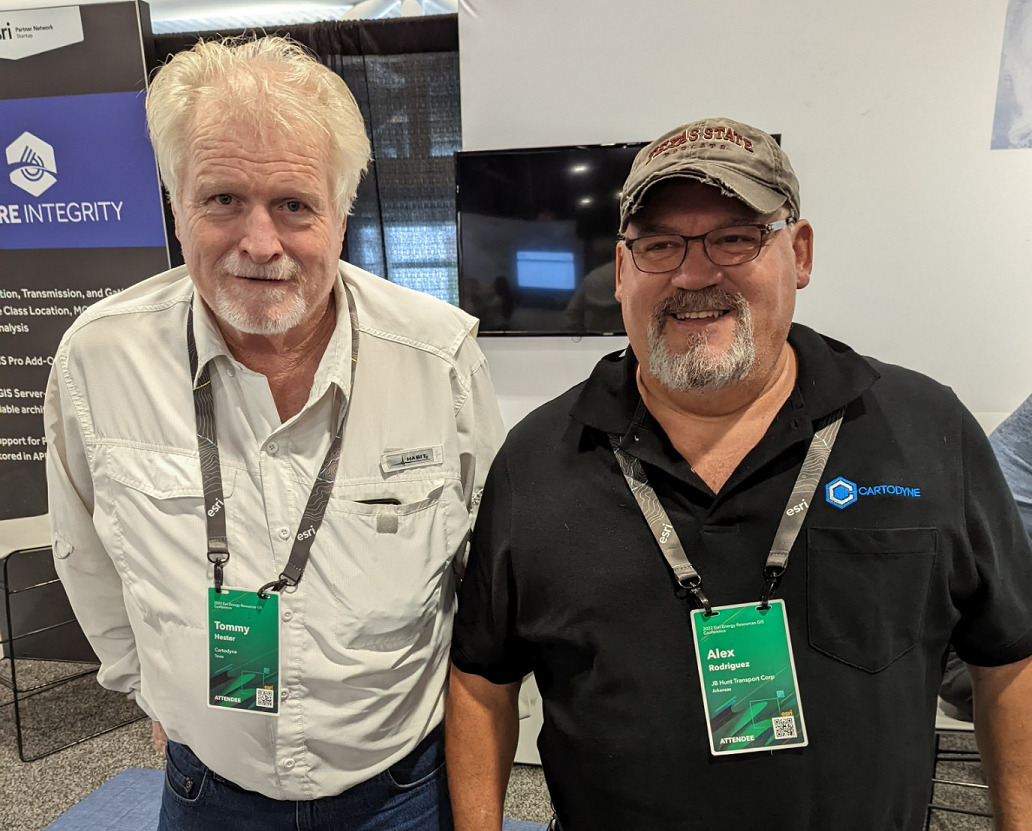
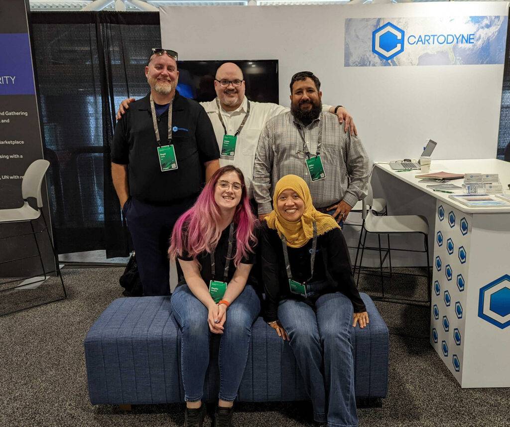
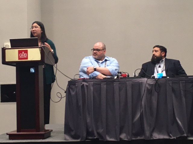
Cartodyne exhibited and presented at the Esri Energy Resources GIS Conference at the George R. Brown convention center in Houston, Texas. Being surrounded by colleagues and clients excited about spatial technologies and solutions in-person for the first time in a few years was a welcomed experience. Esri did a great job putting on the event and supporting it.
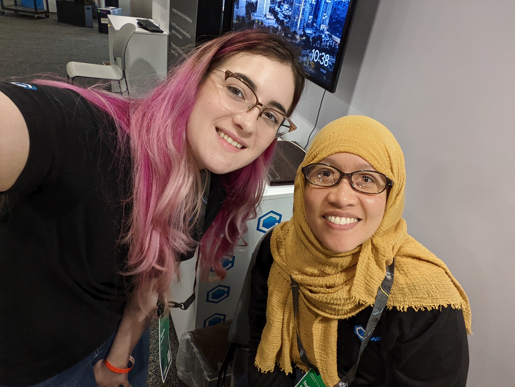
Tom and AlexLloyd, Jason, Mike, Kaylin, & CiciKaylin and CiciTeam Cartodyne
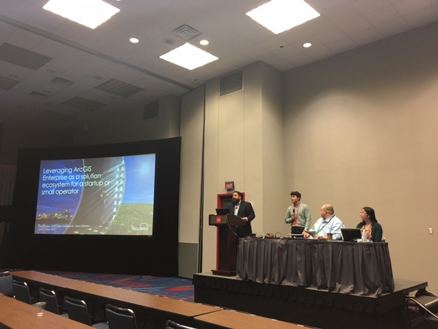
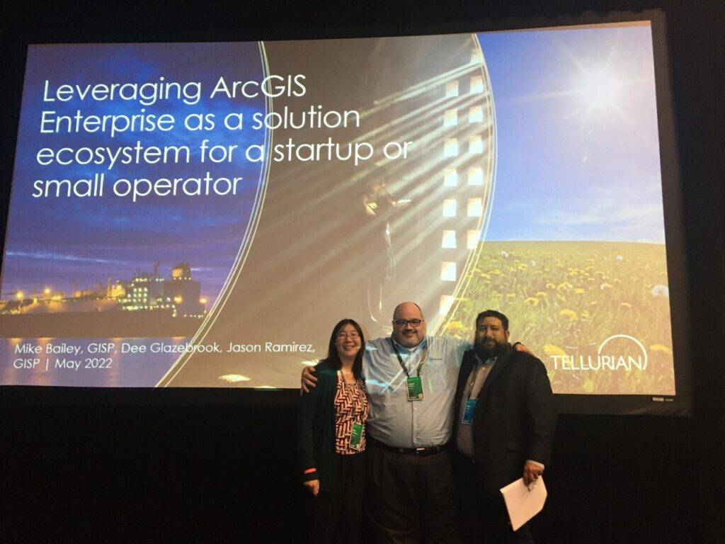
This year, in collaboration with the excellent technology team at Tellurian Inc., we also shared a presentation discussing some of our work entitled “Leveraging ArcGIS Enterprise as a Solution Ecosystem for a Startup or Small Operator”. From startup to operations within the Upstream team, we were fortunate to build the enterprise system. Shown below is an abstract for our presentation.
Founded in 2016, Tellurian closed an agreement in November 2017 to purchase natural gas-producing assets and undeveloped acreage in Northern Louisiana. As part of that venture, the Tellurian Upstream & IT team invested in a single machine base implementation of ArcGIS Enterprise in Azure. Though initially deployed to provide a unified upstream view of operational data, the web GIS platform continues to be a go-to resource to provide out-of-the-box spatial solutions for emergent business needs across the enterprise. This presentation will cover some of those solutions, what business use cases precipitated the requests, and how readily available ArcGIS Enterprise functionality can be utilized to deliver value to Tellurian and other similarly sized operators.
“Leveraging ArcGIS Enterprise as a Solution Ecosystem for a Startup or Small Operator.” – 2022 Esri Energy Resources GIS Conference Proceedings
Mike, J. Bires, Jason, & DeeWhat a team!Dee dropping knowledgePresentation Day
Thanks to everyone who stopped by to say hello or who shared their exciting projects. We look forward to seeing everyone again next year!
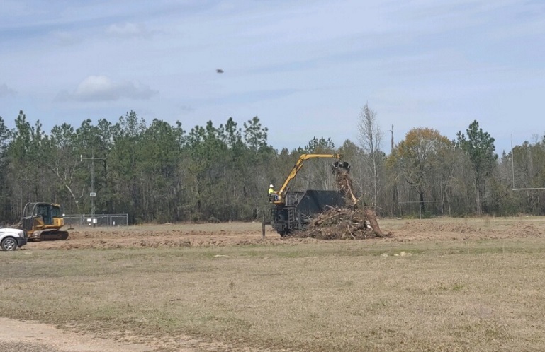
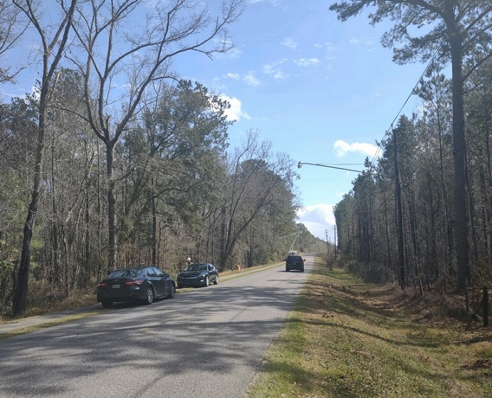
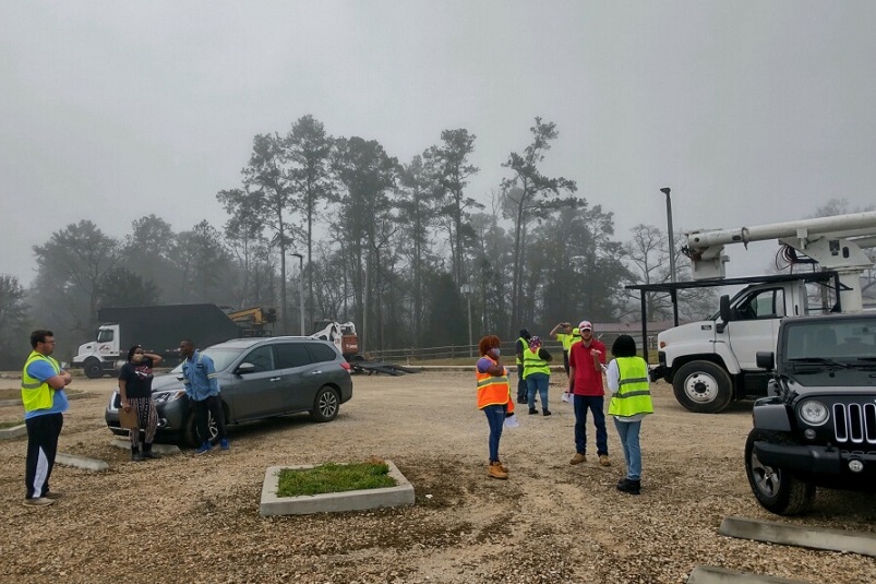
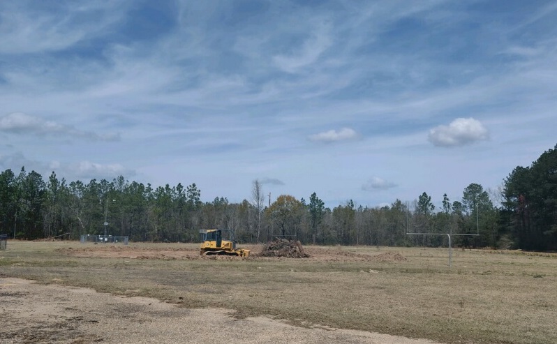
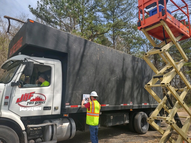
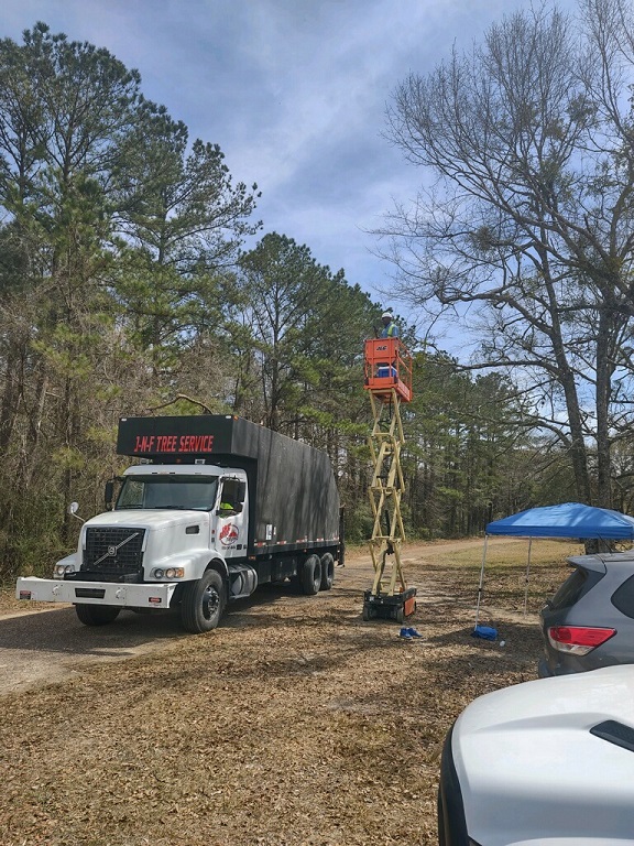
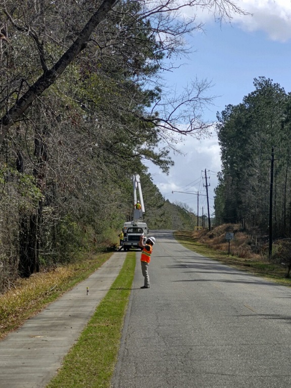
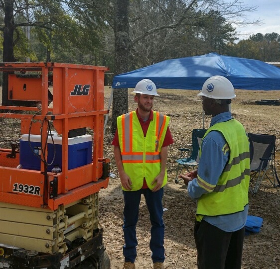
The team at Cartodyne is in the Town of Mount Vernon, Alabama this week providing emergency management and monitoring services resulting from Hurricane Zeta (AL-4573-AL). Trucks have been certified, debris is being collected and removed according to local, state, and federal guidelines, and we have targeted and hired local citizens for subcontracting in our mission to clean up disaster damage in the community.
Cartodyne is a highly skilled Disaster Management and Information Technology services firm that leverages decades of industry practice with modern tools to deliver solutions for business organizations, cities, counties, and non-profits. Our Disaster Management team provides emergency management preparation & planning services as well as disaster response services such as damage assessments and assistance with financial recovery. Please contact us at relief@cartodyne.com for more information about Cartodyne’s Emergency Services.
Assisting the Town of Mount Vernon, Alabama with clean up after Hurricane Zeta – March 2021
Cartodyne is looking to expand our growing team of GIS consultants as we look forward to 2021. We are looking for the two GIS roles described below. Pleases send a cover letter and resume to gis@cartodyne.com to be considered for the role.
Who we are:
Cartodyne is a highly skilled Disaster Management and Information Technology services firm that leverages decades of industry practice with modern tools to deliver solutions for business organizations, cities, counties, and non-profits.
We believe that location intelligence is industry agnostic and applicable to most business and field operations. Coupled with modern cloud-based spatial solutions, Cartodyne provides world-class, remote-first or on-site operational GIS support with a reputation for quality and timely professional services.
What we seek:
We are looking for a mid-levelGIS Consultantand Senior GIS Consultant.
Senior GIS Consultant An enthusiastic and talented GIS practitioner capable of regular spatial project support activities, but also capable of skillfully creating GIS tools and applications when warranted. With 7 years of experience performing a similar role, you are intimately familiar with the Esri software stack on the desktop and in the cloud allowing you to configure ArcGIS Enterprise and write custom code.
Above all, you are a problem solver adept at deploying Enterprise GIS while designing and developing front-end and back-end application components & integrating with other internal systems and technologies. You can seamlessly coordinate with the team working to deliver interesting & challenging solutions. This role requires familiarity and related project experience within the Esri ecosystem while leveraging best practices in a dynamic environment.
GIS Consultant An enthusiastic and capable GIS professional that will combine technical knowledge with business intelligence to enable GIS solutions aligned with business strategy. You have at least 3 years of escalating levels of responsibility that enables you to coordinate the analysis, design, deployment, administration, and configuration of complex GIS systems, databases, software, and equipment. You possess advanced knowledge of the Esri ecosystem including ArcGIS products, geodatabases, as well as spatial data processing and analysis.
Required capabilities:
Senior GIS Consultant
Develop and architect large scale GIS solutions using ESRI ArcGIS Portal, ArcGIS Desktop, ArcGIS Pro, ArcGIS Server, and ArcSDE GIS software to manipulate data in a raster and vector based geospatial environment.
Design, build, configure Esri Platform and apps using custom code (e.g. Python, JavaScript) or configurable platform apps.
Work closely with other developers and project team.
Understanding and working experience with solid application design principles.
Excellent communication and documentation skills.
GIS Consultant
Designs, develops, and maintains complex internal customer facing GIS Web applications through concept, design, and implementation phases to consume new web enabled GIS functionalities (using the latest relevant techniques and best practices).
Works with existing design templates to maintain corporate architecture and implementation standards.
Confirms accuracy of spatial data components of the centerline file, parcel polygons, other polygon datasets.
Works closely with client for the management, manipulation, and display of a wide variety of graphic and image data.
Required qualifications:
Bachelor’s Degree, in GIS , Computer Science, MIS, Business Administration or similar area of study. Three (3) years of previous experience required for GIS Consultant and seven (7) years of previous experience the Senior GIS Consultant role. An equivalent amount of related experience may substitute for the bachelor’s degree.
Three (3) or more years of relevant experience with geospatial development and technologies for the GIS Consultant and seven (7) years for the Senior GIS Consultant role.
US Citizenship.
You must be able to demonstrate familiarity with following during your technical interview:
Senior GIS Consultant Esri software including ArcGIS Enterprise, Esri JavaScript API, Portal for ArcGIS, ArcGIS Desktop, ArcGIS Online, and their associated APIs or interfaces.
GIS Consultant Esri software including ArcGIS Desktop, ArcGIS Pro, ArcCatalog, ModelBuilder, 3D Analyst/Spatial Analyst extensions.
Bonus points if you have:
Experience with Esri ArcGIS Enterprise 10.6 or higher.
Esri Developer Certification(s).
GISP Certification.
Hands-on experience with RESTful web services, distributed systems, and cloud computing.
Automating the Esri platform (e.g. Python scripting for AGO/Portal administration).
Working knowledge of SQL.
Hands-on experience with RESTful web services.
Understanding and working experience with version control systems (e.g. Git).
Cartodyne is committed to providing veteran employment opportunities to our service men and women.
The Company reserves the right to conduct a background check of its team members, and your employment may be conditioned on satisfactory results.
Pleases send a cover letter and resume to gis@cartodyne.com to be considered for the role.
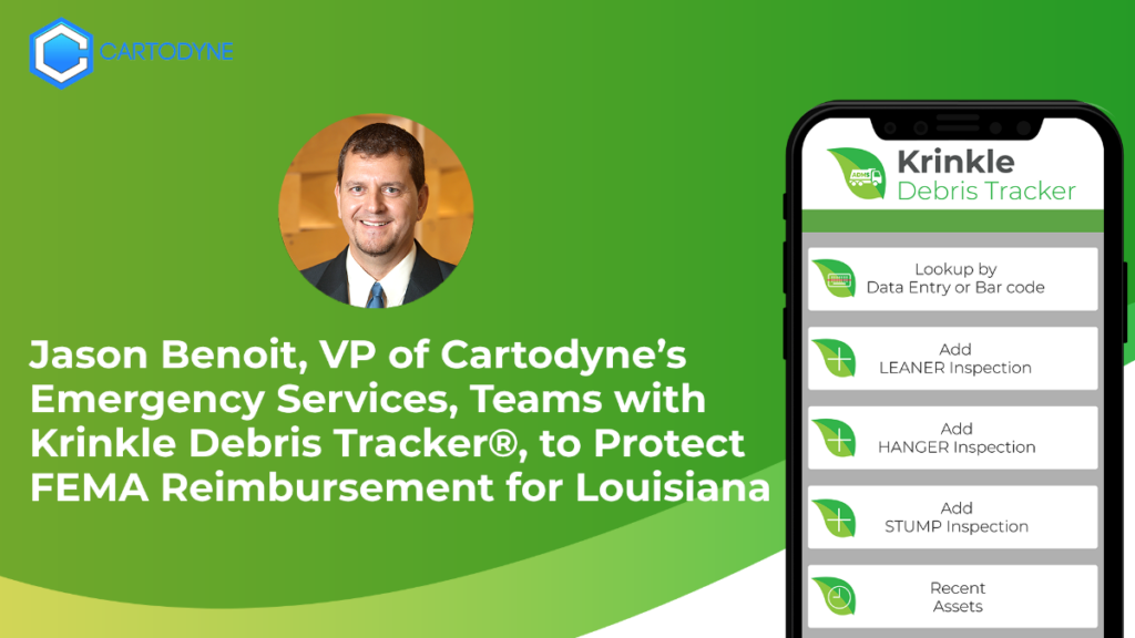
Jason Benoit, a Louisiana native, has 20+ years of experience in helping Louisiana Parishes and Jurisdictions from his work in Louisiana government to the private sector. Now, as the Senior VP of Cartodyne’s Emergency Services Division, Jason’s success for his clients in Louisiana through the years continues, even into this 2020 storm season. Cartodyne’s Debris Monitoring Division of Emergency Services is actively helping communities right now, from the recent devastation of Hurricane Laura. A summary of his credentials can be found in the PDF linked below, and his full resume is available on request.
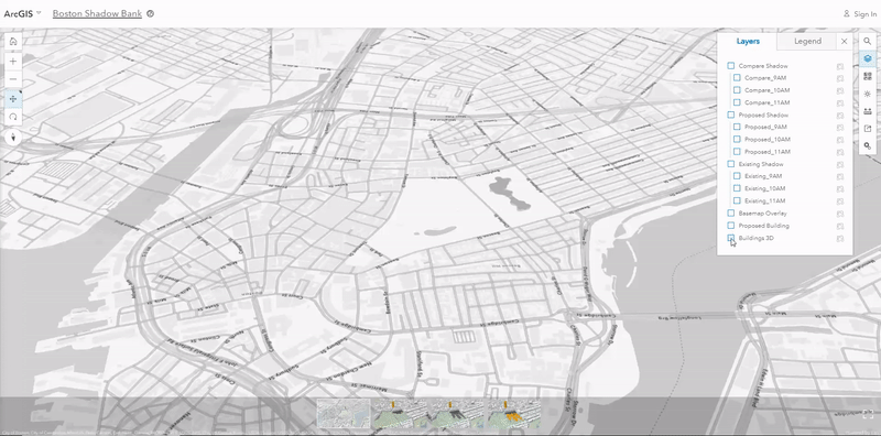
Historically, planners and designers used wooden model replicas of city areas for planning. The city of Boston recently took a more modern approach to determine if a new building design would affect the nation’s oldest city park, Boston Common, with shadows. Brooks Patrick, account executive and 3D GIS Business Development Lead at Esri discusses the approach in his recent article on the Esri blog.
Boston Common 3D GIS Map
Click on the animated image above to open the scene in your web browser. Left-click moves, Right-click rotates, and mouse wheel zooms.
If you’d like to learn more about how location analytics can assist your project or organization, give us a call or send us an email.
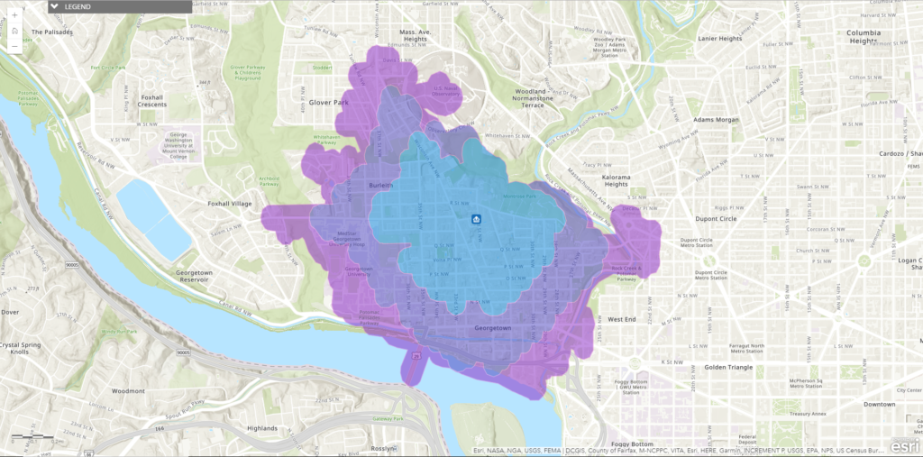
Have you ever wondered how far you can walk in 20 minutes or even an hour from your home or office? Molly Zurn, documentation product engineer with Esri on the ArcGIS Online team, decided to find out to assist with planning walks with her niece.
Walk-Time Map depicting 10, 15, and 20 minute walking times.
The steps provided on the ArcGIS Blog post require an ArcGIS Online account with publisher privileges, but they are pretty straight forward. The results are instantaneous and provide just the information she needed.
This type of analysis is accessible and visually intuitive. If you’d like to learn more about how location analytics can assist your project or organization, give us a call or send us an email.
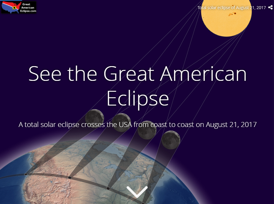
For the first time since 1776, a total solar eclipse will be visible to hundreds of millions of Americans on August 21. The folks at GreatAmericanEclipse.com are updating relevant viewing information regularly providing animated fly-over videos, weather and cloud cover data, and much more. Take a look at their Story Map for more information:
Click here and scroll down for more information in this story map on the total eclipse August 21