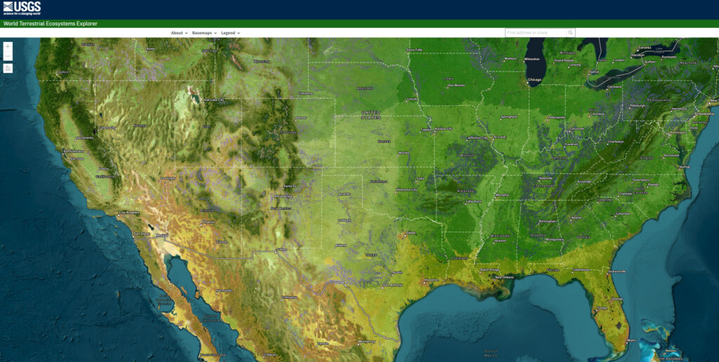
The US Geological Survey (USGS) partnered with Esri and The Nature Conservancy to release the World Terrestrial Ecosystems map, which divides the Earth based on similar climate, landform, and land cover rather than political boundaries.
According to Dr. Roger Sayre, senior scientist for ecosystems at USGS and lead on the project, knowing the location and classification of ecosystems is crucial for their management, as they provide goods and services such as food, water, and fuel.
The map is accessible through ArcGIS Living Atlas of the World and an explorer tool, and it can assist in conservation planning, analyzing ecosystem health and resilience, and achieving the Sustainable Development Goals (SDGs).
Additionally, in the Forrester New Wave: Climate Risk Analytics, Q4 2022 report, Esri received recognition as a leader in offering advanced data processing and visualization to help decision-makers address climate risks, receiving the highest score possible in 9 out of 10 criteria, including threat modeling, advanced data processing, and visualization.