Seeing Underground Infrastructure using Augmented Reality

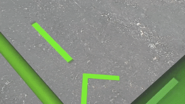
Using a state of the art mixed reality holographic application, Toms River Municipal Utilities Authority (TRMUA) blazes a path for other industries to adopt Augmented Reality.

Augmented Reality Aids New Jersey Water Utility

“The combination of GIS and augmented reality can address a lot of interesting business cases across industries,” says Cindy Elliott, head of commerical industry marketing for Esri. “The technology is certainly powerful in outdoor settings like Toms River, but GIS and AR can also create efficiencies in warehousing, real estate, retail planning, and manufacturing.” Read more on this story from Bill Meehan in the Esri newsroom.

Visit the International Space Station in Google Street View

With legwork from the station’s crew, Google has added Street View images inside the International Space Station. A recent post on the Google blog details the efforts collaborating with NASA team at the Johnson Space Center in Houston, Texas as well as the Marshall Space Flight Center in Huntsville, Alabama.

Google Street View aboard the ISS

Click here to launch Google Street View aboard the International Space Station.


Drones are coming to squeeze more savings from oil patch

Oil majors including Statoil, Shell and Chevron are experimenting with various technologies, from drones and drill design to data management, to drive down costs and weather a deep downturn.

GE’s methane sniffing drone

At the opening of GE’s new oil and gas R&D center in Oklahoma, the multi-business company has also presented its new methane-sniffing helicopter drone called “Raven.” GE started working on the project last year, and it proved that the 20-pound machine can indeed do what it was created for during a test run in July: Raven successfully found gas leaking from a couple of oil wells in Arkansas.

Fuelfix article

Engadget article

Satellite Map

This Esri satellite map was built using the JavaScript API for ArcGIS the latest version of which allows you to build full-featured 3D applications powered by web scenes that can include rich information layers such as terrain, basemaps, imagery, features, and 3D objects. Ask us how we can empower your business, organization, or non-profit with spatial visualization.

This image and link below depicts the location of approximately 1,250 Low Earth Orbit, Medium Earth Orbit, and geosynchronous orbit satellites. If you click on one of them it will show you its orbit as well as its 24-hour trajectory shadow.

Satellite Map by Richie Carmichael, Esri

All satellite data provided by Space-Track.org, an organization that promotes space flight safety, protection of the space environment and the peaceful use of space worldwide by sharing space situational awareness services and information with U.S. and international satellite owners/operators, academia and other entities.

2016 Summer Olympic Games – Story Map by Esri

Esri has built a Story Map for venues in the 2016 Summer Olympic Games. Esri Story Maps let you combine authoritative maps with narrative text, images, and multimedia content. They make it easy to harness the power of maps and geography to tell your story.

Click the image below to launch the story map!

A story map of 2016 Summer Olympic Games. Rio de Janeiro, Brazil

Click here for more award winning Story Maps.

Do you need to capture data in the field?

If a new field data capture system were to be designed that leverages modern technology and avoids the historic challenges of field data collection, the wish list of functionality would at least include:

  • End to end digital data capture (no more field notebooks or subsequent manual transcription)
  • Real-time use of collected data (allows for immediate response or analysis)
  • Use existing equipment, but also accommodate enhancements (no new hardware requirements)
  • Flexible connectivity for rural or spotty coverage areas (disconnected editing)

Introducing Survey123 for ArcGIS, a new field data gathering product by Esri.

How can GIS help safeguard your community from the storm?

This Esri Insider blog post details steps for your community to Prepare, Plan, and Recover for flooding, one of the most costly natural disasters that government agencies face. The screenshot below as well as those in the article are GIS web mapping applications being consumed by San Bernardino county California citizens, planning agencies, response teams, and field crews on computers, tablets, and smartphones.

flood_impact_Summary_072516