Introduction
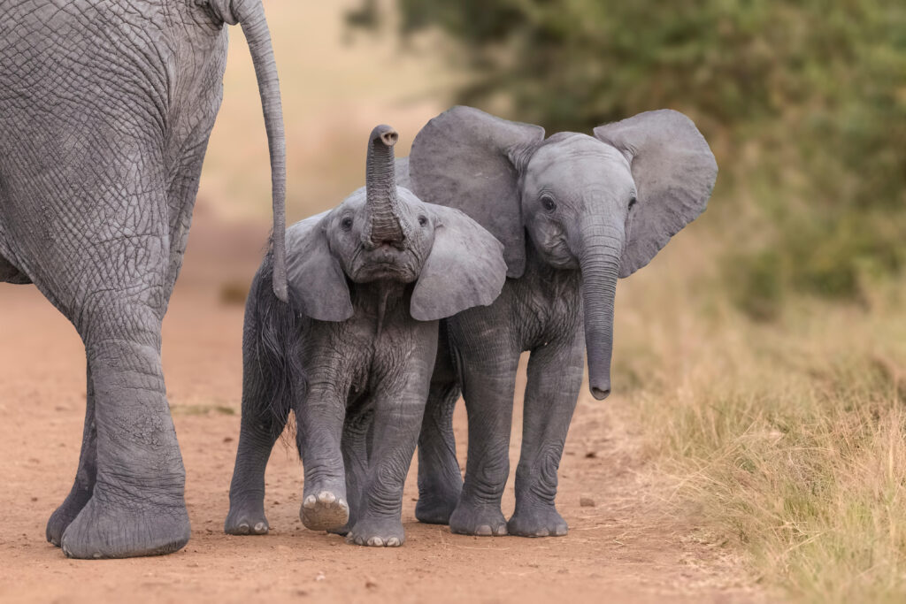
In the heart of Africa, where humans and elephants share the land, a unique solution has emerged to protect both farmers’ livelihoods and one of the continent’s most majestic creatures. The Elephants and Bees Project, an initiative by Kenya-based Save the Elephants, demonstrates the extraordinary impact of geospatial technology in addressing human-elephant conflicts while fostering coexistence and understanding between communities and wildlife.
The Beehive Fences: A Nature-Based Solution
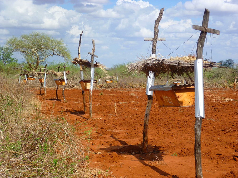
An ancient African folktale revealed elephants’ fear of honeybees, a fear that researchers like Lucy King have utilized to safeguard these magnificent animals. By playing recordings of swarming African honeybees near elephant herds, King and her team observed elephants swiftly retreating, laying the foundation for a creative solution. The answer came in the form of beehive fences, crafted from wire and treated poles with beehives suspended between them. When elephants approach these fences, the bees emerge, creating a natural deterrent that protects farmlands.
Transformative Impact of Geospatial Technology
Save the Elephants, in collaboration with GIS officers, embraced geospatial technology to monitor elephant movements and assess the effectiveness of beehive fences. Initially tracking elephant data manually, they transitioned to advanced tools like ArcGIS Survey123, significantly reducing the time spent on data collection. Real-time data analysis and visualization through ArcGIS Dashboards facilitated informed decision-making, enabling the project to expand its reach and protect more farms.
A Comprehensive Approach to Conservation
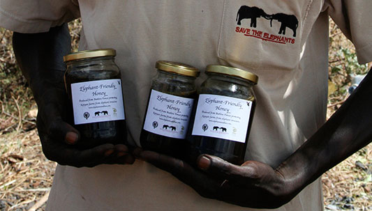
With time saved through automation, researchers could focus on multifaceted approaches. Conservation agriculture methods were imparted to farmers, and initiatives like a women’s enterprise center and “elephant-friendly” honey packaging were developed. Moreover, the team created a Human-Elephant Coexistence Toolbox, a repository of strategies drawn from experiences across Africa. Remote sensing technology aided in understanding elephant behavior and their dietary preferences, opening new avenues for research and conservation efforts.

Empowering Africa’s Biodiversity
The amalgamation of geospatial technology and conservation efforts has empowered communities, governments, and stakeholders. By visualizing data, GIS technology enables a deeper comprehension of the interconnected systems at play. It not only helps in safeguarding elephants but also contributes to the preservation of Africa’s rich biodiversity. Through this innovative approach, Africa’s elephants are not merely protected; they are being understood, respected, and celebrated as a vital component of the continent’s natural heritage.
Conclusion
The story of elephants and bees in Africa illustrates the transformative power of geospatial technology in conservation. By fostering harmony between humans and elephants, this initiative showcases the profound impact that innovative solutions, coupled with advanced technology, can have on preserving biodiversity and ensuring the coexistence of all species. As we continue to harness the potential of geospatial tools, we move one step closer to a future where wildlife and communities thrive together, embodying the essence of sustainable cohabitation.