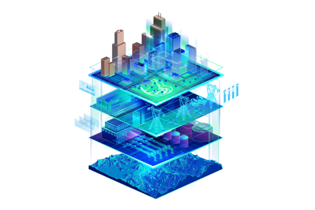
In the ever-evolving landscape of digital innovation, the concept of Digital Twins has emerged as a transformative force, reshaping how we perceive and interact with the real world. Digital Twins, virtual replicas of physical objects and systems, have found a robust foundation in ArcGIS, a cutting-edge geospatial technology developed by Esri. ArcGIS is not merely a tool; it’s a cornerstone empowering the creation of intricate and interactive digital twins in fields as diverse as architecture, engineering, and construction.
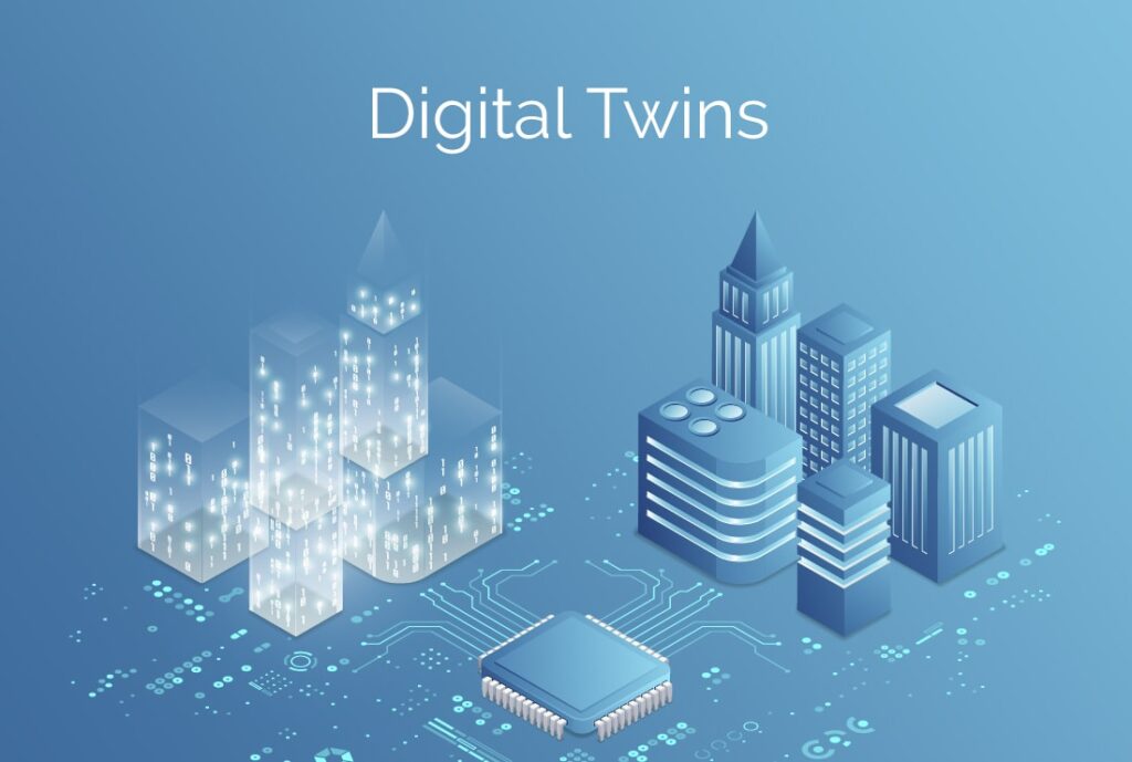
Digital Twins, in their essence, serve as comprehensive virtual representations of the physical world, incorporating objects, processes, relationships, and behaviors. They offer a unique perspective, enabling accurate historical documentation, real-time performance monitoring, and the simulation of future states. When integrated with Geographic Information System (GIS) data, these digital twins become immensely powerful, facilitating a deeper understanding of the physical world and its complexities.
Unveiling the Potential of Digital Twins:
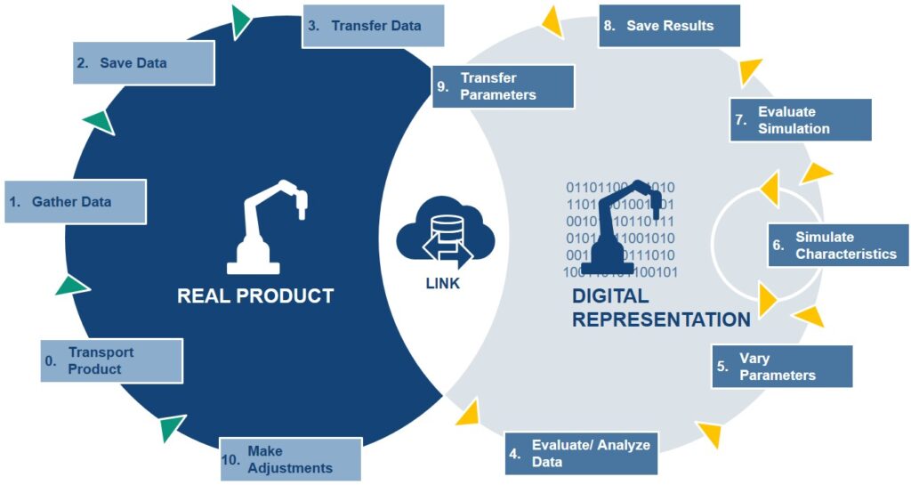
Digital Twins serve a myriad of purposes, addressing critical challenges faced by industries today. The first among these is the preservation of historical records. Digital Twins, when crafted with precision, become archives, capturing specific moments in time for assets or systems. This historical context becomes invaluable for legal and operational purposes, aiding in decision-making processes.
Operational performance monitoring represents another significant area where Digital Twins shine. By providing real-time, interactive 3D representations of assets, digital twins transform into dynamic dashboards. These dashboards, often linked to live feeds and enterprise systems, empower users to monitor the actual system’s performance with unparalleled depth and accuracy.

Furthermore, Digital Twins play a pivotal role in testing and predicting future performance. Whether in the automotive industry, where aerodynamics are scrutinized, or in urban planning, where the impact of new constructions is simulated, digital twins provide a platform to explore scenarios and optimize outcomes while minimizing costs.
The Integral Role of GIS in Digital Twins:
Crucially, Geographic Information System (GIS) technology forms the backbone of digital twins. GIS data, overlaid on 3D models, facilitates complex analyses by providing a common key—’location.’ This simple yet fundamental element enables the integration of diverse data models and sets, paving the way for sophisticated simulations and analyses.
Esri’s ArcGIS has undergone substantial advancements, evolving into an ideal technology to merge disparate data sets seamlessly. It enables the creation of federated data systems, interactive maps, and dashboards that facilitate communication, observation, and analysis of complex systems, including entire cities.
GIS also lends itself to numerous simulations, ranging from shadow impacts of structures to airflow analyses in urban centers. With tools like the ArcGIS Maps SDK for Unity and Unreal Engine, GIS content can even be integrated into game engines, expanding its potential applications further.
Considerations and Success Factors:
Embarking on a digital twin project requires careful consideration and planning. Several factors influence the scope and success of such endeavors. Time scale, stakeholder diversity, system complexity, data ownership, and data security all play pivotal roles in determining the project’s parameters.
Successful digital twin projects hinge on well-defined outputs, a design thinking approach that involves stakeholders, clear requirements for information architecture, adherence to open data standards and APIs, and standardized authentication and licensing protocols. These elements collectively shape the digital twin’s effectiveness and usability, ensuring it aligns seamlessly with the intended goals.
The Future of Digital Twins with ArcGIS:
Today, ArcGIS empowers users to blend reality capture, 3D modeling, planimetric data, and real-time feeds into dynamic, interactive experiences. ArcGIS facilitates the creation of geospatial digital twins, allowing exploration on various platforms, from mobile devices and web browsers to desktop applications.
Several notable projects exemplify the transformative potential of ArcGIS-powered digital twins. Amsterdam Airport Schiphol, HNTB, Hartsfield-Jackson Atlanta International Airport, and Hazen and Sawyer have leveraged ArcGIS to craft innovative, data-rich digital twins, enhancing their operations and decision-making processes.
Esri’s commitment to advancing the field of digital twins is unwavering. Through investments in reality capture, Building Information Model (BIM) integration, IoT, and other cutting-edge technologies, Esri ensures that ArcGIS remains at the forefront of the digital twin revolution, enabling users to create the next generation of immersive and insightful digital twins.